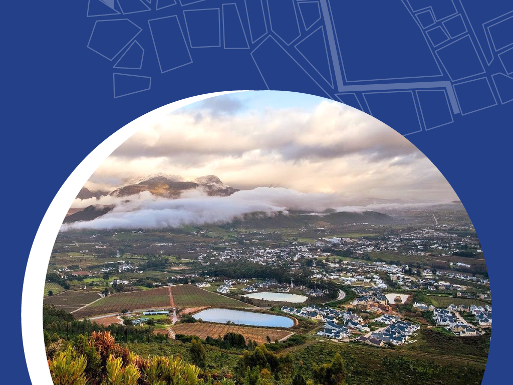
Spatial Planning
Explore our different sections below:
What is Spatial Planning?
Spatial planning is the process of organising how land and resources are used to guide the growth and development of a town or region in a sustainable and coordinated way. It ensures that growth happens in the right places, at the right time, and in ways that benefit all members of the community.
At its heart, spatial planning takes a holistic and systematic approach, looking at how different areas and spaces interact and work together. It helps us understand the relationships between places, such as:
- How Stellenbosch town interacts with nearby municipalities like Cape Town or Drakenstein.
- How different areas within Stellenbosch’s jurisdiction, like Franschhoek, Klapmuts, and Stellenbosch town itself, influence and connect with one another.

By focusing on these interactions, spatial planning ensures that growth across the Municipality happens in a way that strengthens connections, supports communities, and promotes balanced development between urban and rural areas.
Tools like the Spatial Development Framework (SDF) help guide this process by providing a long-term vision and strategy for development. The SDF aligns with the broader priorities and objectives of the Integrated Development Plan (IDP) to ensure that public investment and resources are directed to the areas where they are most needed.
Spatial planning is particularly important in South Africa’s context, where it plays a key role in addressing historical inequalities, creating inclusive communities, and ensuring fair access to resources and opportunities for everyone.
Here you have access to view and download all Spatial Planning related documents:
FQ85/25: Supply, delivery and installation of artificial grass animals
FQ/SM 108/25: SUPPLY AND DELIVERY OF SANITARY PADS AND ADULT DIAPERS
FQ/SM 106/25: APPOINTMENT OF A SUITABLE SERVICE PROVIDER TO UNDERTAKE AN INVESTIGATIVE STUDY ON ERVEN 292, 1072, 1073, 1076 AND ERF 1077, KAYAMANDI, STELLENBOSCH
FQ/SM 109/25: SUPPLY, DELIVERY, AND MAINTENANCE OF NEW DRONES AND ASSOCIATED EQUIPMENT INCLUDING MAINTENANCE AND REPAIR OF EXISTING DRONES AND ASSOCIATED EQUIPMENT
FQ/SM 107/25: Procurement of GPS Handheld Device for data collection, capturing of outdoors advertising boards and agricultural data verification
FQ/SM 105/25: SUPPLY AND DELIVERY OF PRE-CAST CONCRETE PANEL TOILETS AND ASSOCIATED MATERIAL
FQ/SM 110/25: Supply and delivery of uniforms, as specified as and when needed until 30 June 2025
| WHO TO CONTACT | DIRECTORATE: PLANNING & ECONOMIC DEVELOPMENT |
|---|---|
| Mduduzi Nhleko Manager: GIS | 021 808 8658 Mduduzi.Nhleko@stellenbosch.gov.za |
| Katherine Robinson Senior Heritage Planner | 021 808 8608 Katherine.Robinson@stellenbosch.gov.za |
| Kaizer Makati Heritage Planner | 021 808 8603 Kaizer.Makati@stellenbosch.gov.za |
Stellenbosch Municipality
PO. Box 17, Stellenbosch, 7600
Town House Complex • Plein Street, Stellenbosch, 7600
T: 021 808 8111 • Monday – Thursday, 8:00 am – 4:30 pm

