

Geographic Information Systems
Explore our different sections below:
What is GIS?
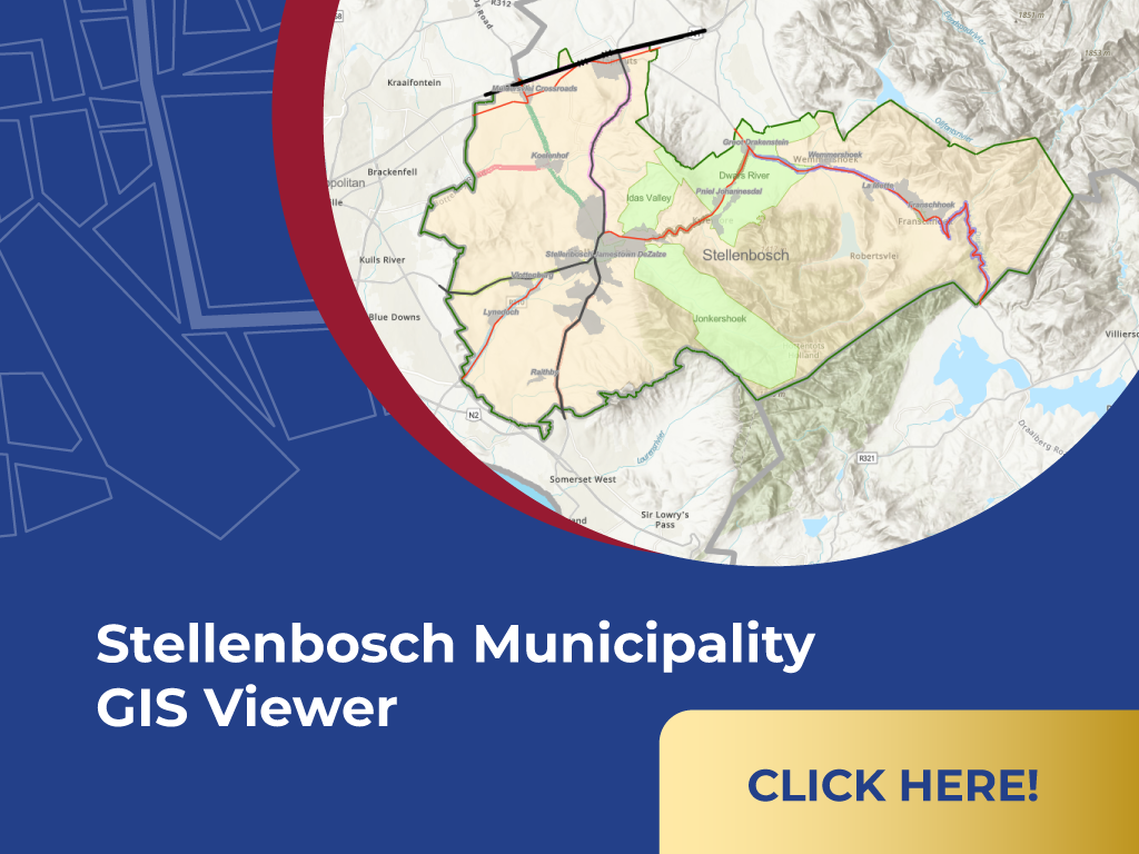
The GIS (Geographic Information Systems) Section plays a crucial role in Stellenbosch Municipality operations through spatial data management and geographic analysis. The GIS Section is responsible for collecting, managing, analyzing, and providing spatial data to various departments within the municipality. It enables evidence-based decision-making and supports efficient service delivery by offering insights into spatial relationships and patterns.
Core Functions:
- Spatial Data Management
- Map Production and Cartography
- Spatial Analysis and Decision Support
- GIS Support for Municipal Operations
- Compliance and Policy Support
- Training and Capacity Building
- Innovation and Collaboration
Here you have access to view and download all Geographic Information System related documents:
FQ 114/25 SUPPLY AND INSTALLATION OF THE LATEST PATRIOT ADVANCED ALARM SOFTWARE SYSTEM
1 file(s) 865.07 KB
Download was expired on February 20, 2025 12:00 AM
FQ 113/25 PROVISION OF ICT HARDWARE TO ENHANCE FIBRE CONNECTIVITY
1 file(s) 849.09 KB
Download was expired on February 17, 2025 12:00 AM
FQ111/25 Monthly Rental of Containers for Beltana Stores
1 file(s) 907.95 KB
Download was expired on February 14, 2025 12:00 AM
- 1
- 2

| WHO TO CONTACT | DIRECTORATE: PLANNING & ECONOMIC DEVELOPMENT |
|---|---|
| Mduduzi Nhleko Manager: GIS | 021 808 8658 Mduduzi.Nhleko@stellenbosch.gov.za |